If you found this page by search
without the entire menu, click here
without the entire menu, click here

Geography, Geology & Maps of NM
Virtual Geologic Tour of New Mexico Landmarks
Geologic Tour of the Rio Grande Rift
Geologic Tour of the High Plains
Geologic Tour of the Colorado Plateau
Geologic Tour of the Southern Rocky Mountains
Geologic Tour of the Basin and Range Province
Geologic Tour of theMogollon-Datil Volcanic Field
Maps from New Mexico Bureau of Geology & Mineral Resources
Geologic History of the Río Grande Rift
Rio Grande Rift Valley
The Rio Grande Gorge and the Geology that Formed It
Geological journeys in New Mexico
Sleeping Monsters
Sacred Fires: Volcanos Of New Mexico
The Volcanoes of New Mexico
New Mexico,Living Landscapes
Valle Grande Caldera of the Jemez Mountains
Sky Island - New Mexico's Jemez Mountains
Geology of the Jemez Mts., Road Geology of selected sections in the Pajarito Plateau and the Jemez Mountains, North Central New Mexico - PDF file, Geology by Light plane of the Rio Grande, Jemez Mountains, San Juan Basin & Shiprock and Bandelier Geology
From Wikipedia, the Four Physical Provinces of New Mexico:
Llano Estacado from Wikipedia
La Bajada, The Descent and the dividing point between the Río Arriba (Up River) and the Río Abajo (Down River).
La Bajada Mesa - Santa Fe County, New Mexico
From Wikipedia, the Major Rivers of New Mexico:
Geography of New Mexico from How Things Work
New Mexico Guide from National Geographic
Map New Mexico Map Worksheets
New Mexico Information, Photos and Maps with information on Cities, Towns and Counties of New Mexico.
Regions of New Mexico & Geography
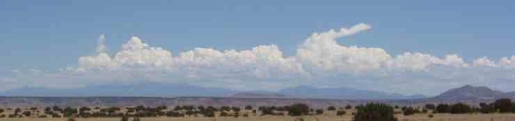
Geography and Land Forms of New Mexico
NM Map - Annual Average Precipitation
New Mexico USGS DRG Topographic Map Index
New Mexico Maps
Satellite Images of NM
Color relief map of New Mexico
Historical Maps from New Mexico Art Tells New Mexico History
NM Road Map
Albuquerque Interactive Mapping (GIS)
Map of Old Town Albuquerque
Map of Santa Fe
Remembered Earth - New Mexico's High Desert
New Mexico Outdoors
NM Hot spots - Birding in New Mexico
NM National Park Guides with Pictures and Maps
Gila Wilderness dot.com
Carson National Forest
Cibola National Forest
Gila National Forestt
Lincoln National Forest
Santa Fe National Forest
Wilderness Areas in New Mexico
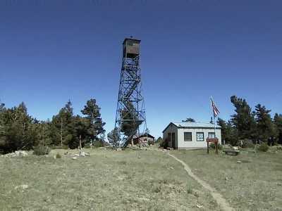
Hiking the Sandia Mountains
ABQjournal Treks & Trails
Friends of the Sandia Mountains
My own page about the Sandia Mountains and the Valle Grande
Summitpost.org's Guide to Climbing in the Sandia Mountains
A climbing Guide To to the Organ Mountains
Palomas Peak Climbing Guide
Photos and directions for climbing in the some of New Mexico's Classic Peaks
Gila Wilderness Hiking Guide
Outdoor Activities in Southern New Mexico
Birding in Southern New Mexico
Hiking New Mexico
Hiker Central's Section on Hiking In NM
From the Mountain Explorer - Wheeler Peak
Photos, Information and stories about Sam Cox's trips backpacking, hiking & skiing at: Truchas Peak, Truchas Lake and East Pecos Baldy; Wheeler Peak; Enchanted Forest Cross Country Ski Area; and Capulin Volcano National Monument
GORP-NM Resource for the Great Outdoors.
Explore NM, Resources for camping & Hiking in NM
New Mexico Outdoor Sports Guide
Volunteers for the Outdoors

Sandia Soaring Association
Albuquerque Roadrunners - Runners club in ABQ
NM Cycling Home Page
The Great Divide Route Mountain Biking in New Mexico
San Juan river Fly Fishing in NM
NM Trout
The Best ride in New México is the Sandia Peak Tramway.
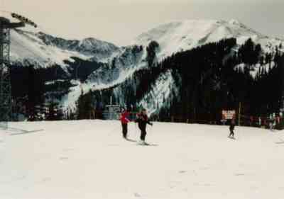
Ski Resorts in and near NM
Angle Fire Resort Durango Mountain Resort
Pajarito Mountain Ski Area
Red River Ski Area
Sandia Peak Ski & Tramway
Ski Santa Fe
Sipapu Ski & Summer Resort
Ski Apache
Taos Ski Valley
Wolf Creek Ski Area
Ski New Mexico