|
Albuquerque sits in the Middle Rio Grande Valley, which is part of the great Rio Grande Rift. The rift zone begins in Colorado, run southward through the center of New Mexico, and ends in the state of Chihuahua in Mexico. About 30 million years ago New Mexico began to pull apart. The rift zone is bounded by two parallel faults that are still in motion. The center of the rift area dropped downward more than 30,000 feet, while the sides uplifted. Volcanoes also formed along the edge of the rift zone, especially in the Jemez area. |
|
|
|
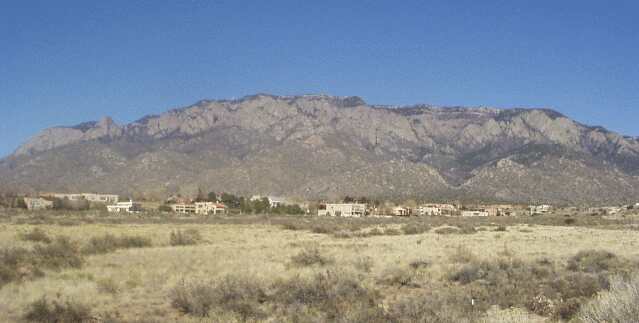
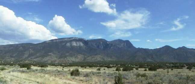
The Sandia Mountains are on the east edge of the Rio Grande Rift Zone. They were formed by uplifting, much like a trap door. It is believed that the vertical movement of the Sandia was greater than 5 miles high. |
|
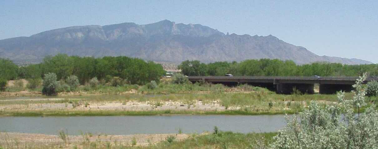
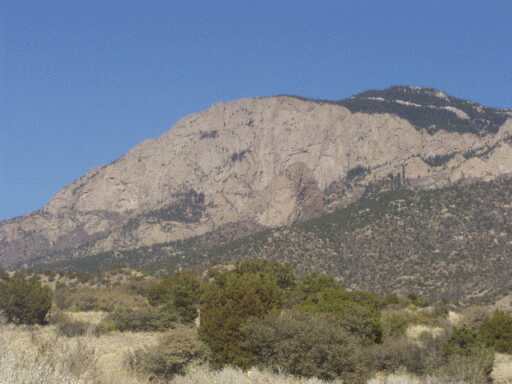
Photo of the center of the Sandia Mountains taken from Corrales in the early spring just as the leaves of the cottonwood trees are about to open. The winter of 2001-2002 was very dry and the ground reflects this. |
|
The west side of the Sandia are very rocky, while the east side has a gentle slope. The rock at the top of the Sandia is the same as the rock that lies about 15,000 feet below sea level under Albuquerque The western slope, extending east of the crest ridge at the north and south ends of the Sandia Mountains was designated as a wilderness area in 1978. The wilderness area is made up of 37,232 acres that is split in two near its center where the Sandia Peak Tramway sits. |
|
|
|
Albuquerque is lies on top of one of the largest and deepest basins of the Rio Grande Rift Zone. Rock and other sediment that eroded off the Sandia filled in the basin. The sediment that filled in the Albuquerque Basin is thousands of feet deep. Run off from the Sandia Mountains is stored within this sediment, and much of Albuquerque's water is pumped out of this aquifer. The Sandia Mountains have always been considered sacred by the Pueblo Peoples of the Sandia Pueblo which lies directly north of Albuquerque. The People of Sandia Pueblo were granted much of the western side of the mountain by a Spanish land grant of 1748. |
|
|
|
|
For more information on the Rio Grande Rift:
Albuquerque's Environmental Story
The Rio Grande Rift
FUN FACT - The film, Lonely Are the Brave,
starring Kirk Douglas, was filmed on the Sandia Mountains.
To find out more photos of and information on Sierra Sandia,
meaning Watermelon Mountain:
Sandia Mountain Wilderness
Great Hikes in the Sandia Mountains
Hiking the Sandia Mountains in a Year
Friends of the Sandia Mountains
Climbing the Sandia Mountains and the North Sandia Peak
Rockclimbing.com in Sandia Mountains
The Sandia Ranger District is part of the Cibola National Forest
Sandia Ranger District Trails Map
& .pdf files of the Sandia District and
Birds of the Sandia and Manzanita Mountains, and
Sandia Mountain
Wikipedia entry for the Sandia Mountains
The Official home page of the
Sandia Peak Ski & Tramway
More Sandia Tram Photos taken by Susan Turnbow 1/26/2002
A flickr slideshow of photos taken from, in and around the Sandia Mountains